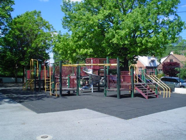
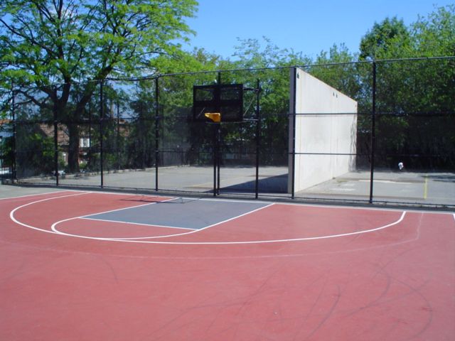
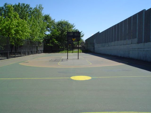
Crowley Playground
Queens Midtown Exwy., 57 Ave. bet. 84 St. and 82 St.
Queens
Directions via Google Maps
What was here before?
This area was previously known as Newtown, which was originally settled in 1640. Renamed Elmhurst in 1896 to appeal to home buyers, the area experienced rapid growth in the late 19th and early 20th centuries, driven by real estate development and major transportation improvements, including the subway. Many homes in this neighborhood were demolished to build the Long Island Expressway and Queens Boulevard. Once a middle-class suburb with a largely Jewish and Italian population, Elmhurst had become one of New York City's most ethnically diverse neighborhoods by the 1980s, home to immigrants from over 100 countries.
How did this site become a park?
Show Disclaimer


Highlights

Check out your park's Vital Signs
Clean & Safe
Green & Resilient
Empowered & Engaged Users
Share your feedback or learn more about how this park is part of a
Vital Park System![]()
 |
%7Cutmcsr%3D(direct)%7Cutmcmd%3D(none)%3B%2B__utmv%3D65491409.-%3B)